The Farthest View on Earth, Found by an Algorithm
- 530km between Hindu Kush and Peak Dankova confirmed as the longest line of sight on Earth
- CacheTVS algorithm based on Rust calculated 4.5 billion lines of sight
- Global analysis completed in 18 hours with 5 AMD Turin servers
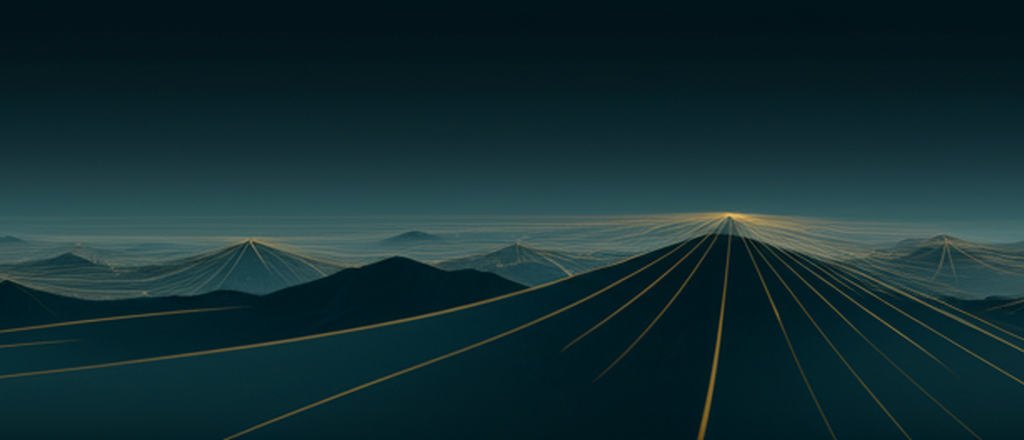
530km, from Kyrgyzstan to China
The CacheTVS algorithm, created by developers Ryan Berger and Tom Buckley-Houston, calculated the visibility range of every point on Earth.[All The Views] The longest line of sight was confirmed to be 530km from Peak Dankova in Kyrgyzstan to the Hindu Kush mountain range in China.
Second place was 504km from Antioquia, Colombia to Pico Cristobal, and third place was 483km from Mount Elbrus, Russia to Pontus, Turkey.[Ryan Berger’s Blog]
Cache Efficiency Was Key
The core of CacheTVS is cache optimization. The existing method had a cache miss rate of 96%. This was solved by rotating the terrain data and arranging it contiguously in memory.[GitHub]
By adding AVX-512 SIMD and multithreading, the calculation time for Mount Everest was reduced from 12 hours to 2 minutes. This is 160 times faster than existing GPUs.[Ryan Berger’s Blog]
Analyzing the Entire Earth for Hundreds of Dollars
The entire Earth was analyzed with hundreds of AMD Turin cores and hundreds of GB of RAM. The cost was in the hundreds of dollars, a dramatic reduction from the initial estimate of hundreds of thousands of dollars.
2,500 tiles were processed with 100m resolution terrain data, and the results were released as an interactive map.[All The Views] On Hacker News, ideas for applications such as wireless communication and mesh networks poured out.[Hacker News]
Frequently Asked Questions (FAQ)
Q: Can you actually see 530km?
A: Theoretically possible, but atmospheric conditions must be perfect. The Guinness World Record for the longest actual photograph is 483km, and was only possible under special conditions with favorable atmospheric refraction. It is virtually impossible in normal weather.
Q: Does it consider the curvature of the Earth?
A: Yes. The curvature of the Earth and atmospheric refraction are included in the correction formula. The refraction coefficient is set to 0.13 to reflect the effect of light bending as it passes through the atmosphere. Without this correction, there would be large errors in long-distance calculations.
Q: Where can it be used?
A: It can be used for communication tower placement, wireless communication path planning, mesh network optimization, and visual impact assessment of wind power generation. You can check the visibility range of a specific point on the interactive map, which is helpful for planning hiking or filming.
If you found this article helpful, please subscribe to AI Digester.
References
- All The Views – All The Views (2026-02-10)
- A Total Viewshed Algorithm to Find the Longest Line of Sight – Ryan Berger’s Blog (2026-02-10)
- CacheTVS GitHub Repository – GitHub (2026-02-10)
- Hacker News Discussion – Hacker News (2026-02-10)